1640 – 1799
17th & 18th Centuries
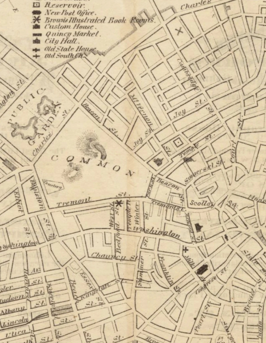
The clubhouse is located on what we now know as Park Street, though long before the early 19th century when a line of elegant homes stretched from Beacon Street to the Park Street Church, this simple lane was known as Sentry Street.
In fact, a 1722 map of Boston by Captain John Bonner shows Sentry Street as running along the Western boundary of the "Burying Place" North to Beacon Street. Laid down in 1640, Sentry Street was described as a "rude pathway leading across the Easterly part of the Common," through the present Statehouse to the "Beacon" atop what was then known as Sentry Hill.
Sentry Street saw its first building with the construction of a town almshouse at its intersection with Beacon Street. An 18th-century observer noted that Boston provided well for its poor: "There are about a hundred poor persons in this house, and no such thing to be seen as a strolling beggar."
In time the house became a place of confinement for criminals and vagrants as well. In 1720 the town's pound was moved to the current site of the Paulist Center (now 5 Park Street), where any horses, cattle or sheep found feeding on the common land, or wandering through the town, were impounded.


